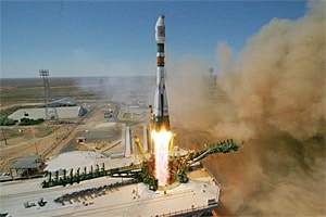


Belarusian satellite received its first order
Nepal, which the United Nations Environment Programme (UNEP) classified as a high risk area in Asia in terms of the ecological status, has become the first country that decided to use the images, obtained from the Belarusian spacecraft (BSC). A framework contract for the provision of such services has been signed by Republican Unitary Enterprise «Geoinformation Systems» of the National Academy of Sciences of Belarus and Geoinnovation Agency «Innoter».
Under the terms of the contract and the first specification to it our enterprise (national operator of Belarusian space system for remote sensing of the Earth) at once carried out delivery to the customer chips of panchromatic and multispectral imagery for a total area of 2740 square kilometers.
As director of «Geographic Information System» Sergei Zolotoj said, the information was provided for research done by «Innoter» together with an American company «Geo22» and aiming to determine the possibility of using the satellite images from BSC and its Russian twin «Canopus-V».
Foreign partners are planning to determine the quality and quantity of upland tropical forests, explore their species composition, assess the damage caused by fires, air pollution, and illegal logging. All this will be going in the interests of the Ministry of Forests and Soil Conservation of Nepal.
It should be noted, that forests in Nepal, as in many other regions of the world, are ruthlessly cut down and dirtied for the sake of profit, which leads to the disappearance of birds, animals, plants, and all that has aroused alarm in the country.